June 3, 2022 - Blackwater Marsh/Barrier Islands (Part 1)
|
|
I didn't fly much the last month, so today I headed out for a long funfly. Today's weather was decent, although a high layer obscurred the sun.
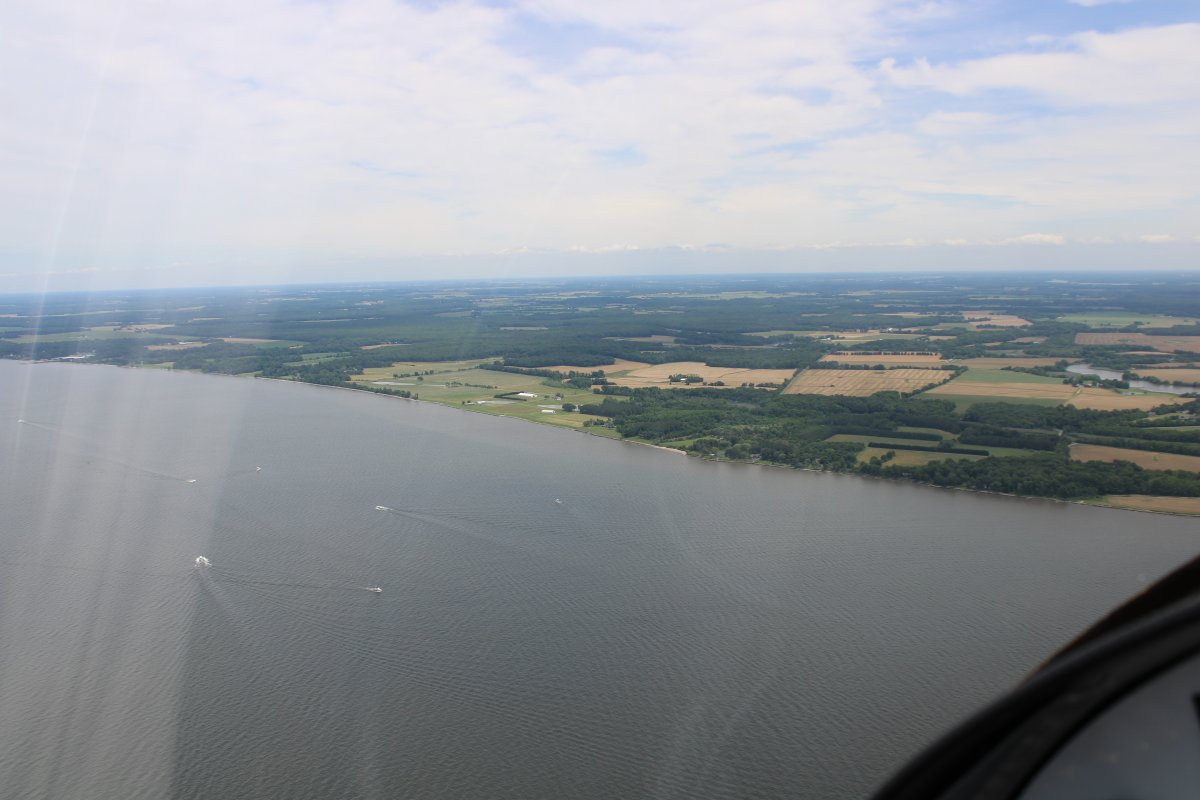
As usual, I headed east to the Eastern Shore. The area to the west and north is so populated, with little to see, that's it's just not much fun to fly.
|
| |
 |
|
|
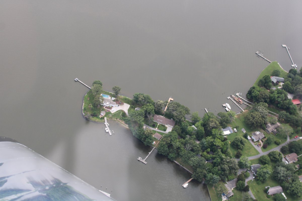
Looking down at a house on the Wye River. Some friends of ours use to own it -- second from left on that peninsula -- and had us over a couple of times. They sold it years ago and moved to Florida.
|
| |
 |
|
| Looking west at St. Michaels with the Bay in the background. There are a lot of creeks and inlets on that big peninsula, aren't there. |
| |
 |
|
|
A tour boat of some sort doing a wifferdill in the Tred Avon River.
|
| |
 |
|
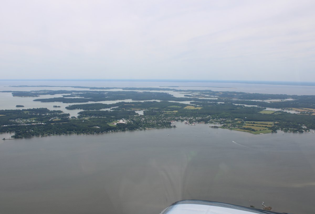
| Looking northeast. The Tred Avon River goes right into Easton, at upper left. |
| |
 |
|
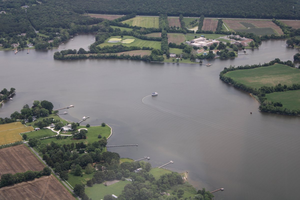
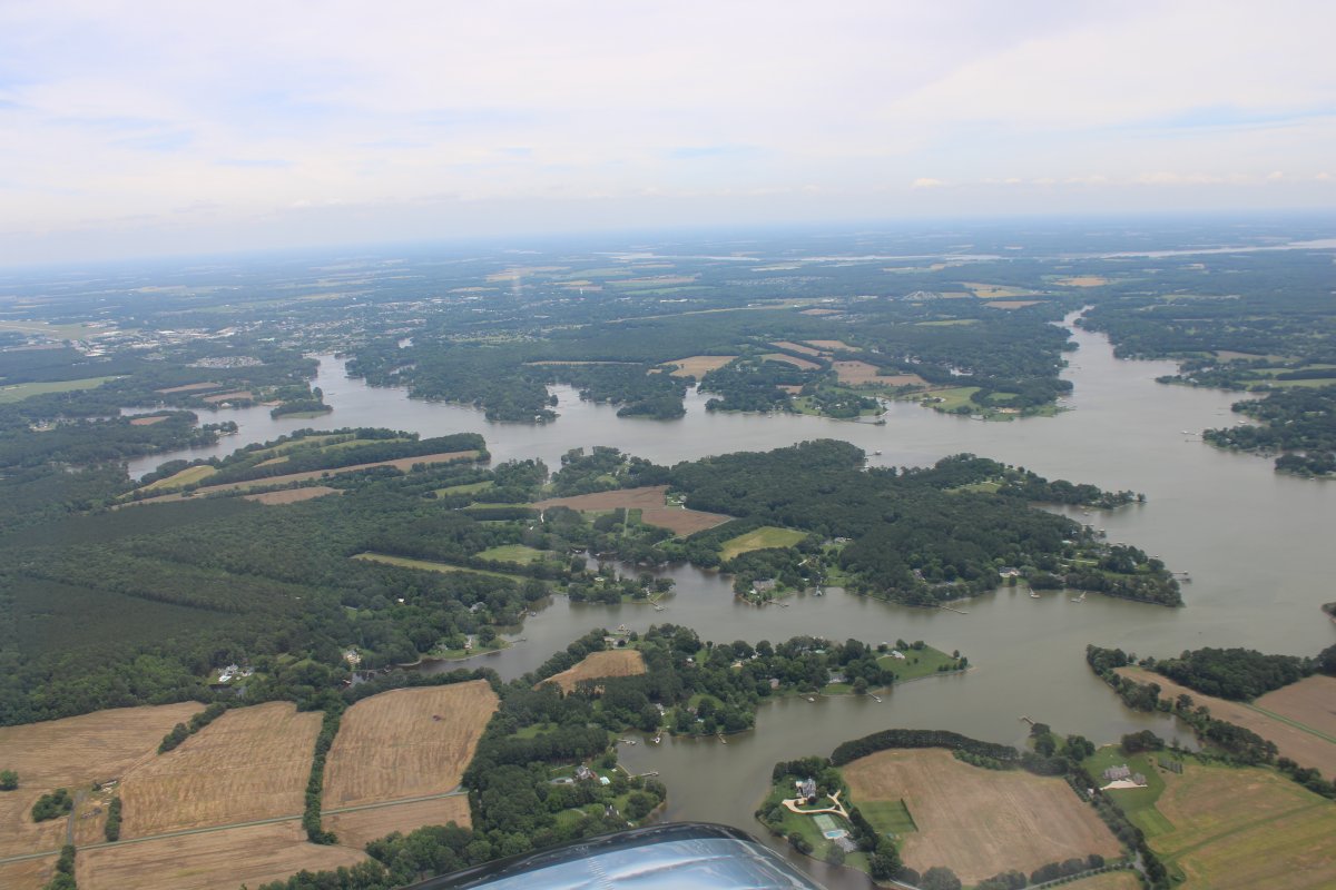
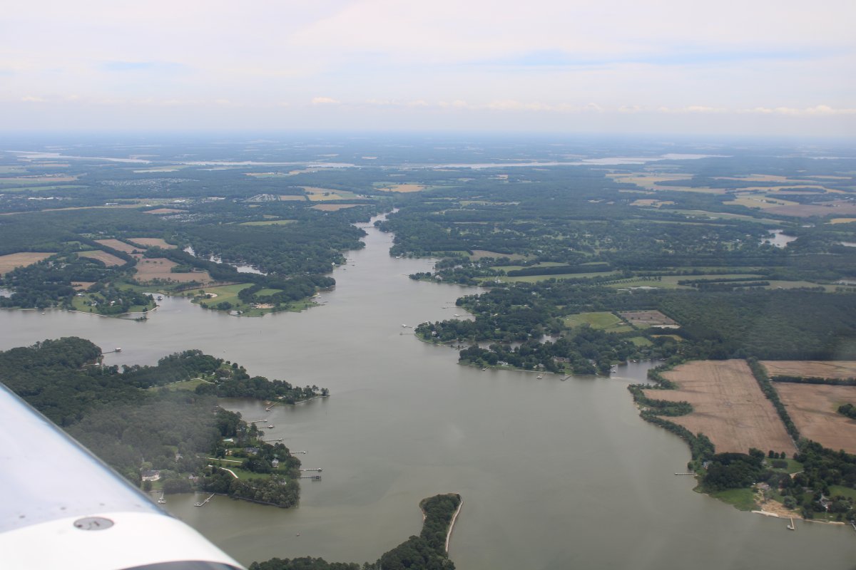
| Looking down Peachblossom Creek. The Choptank river runs from left to right at the top of the image. |
| |
 |
|
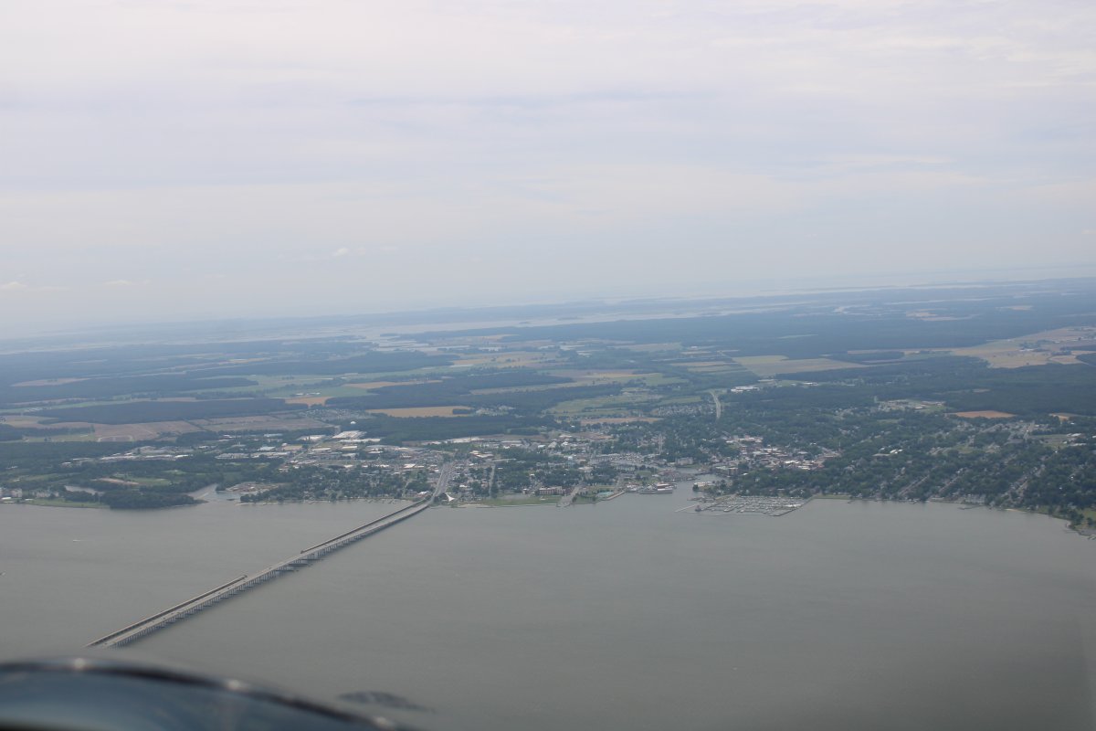
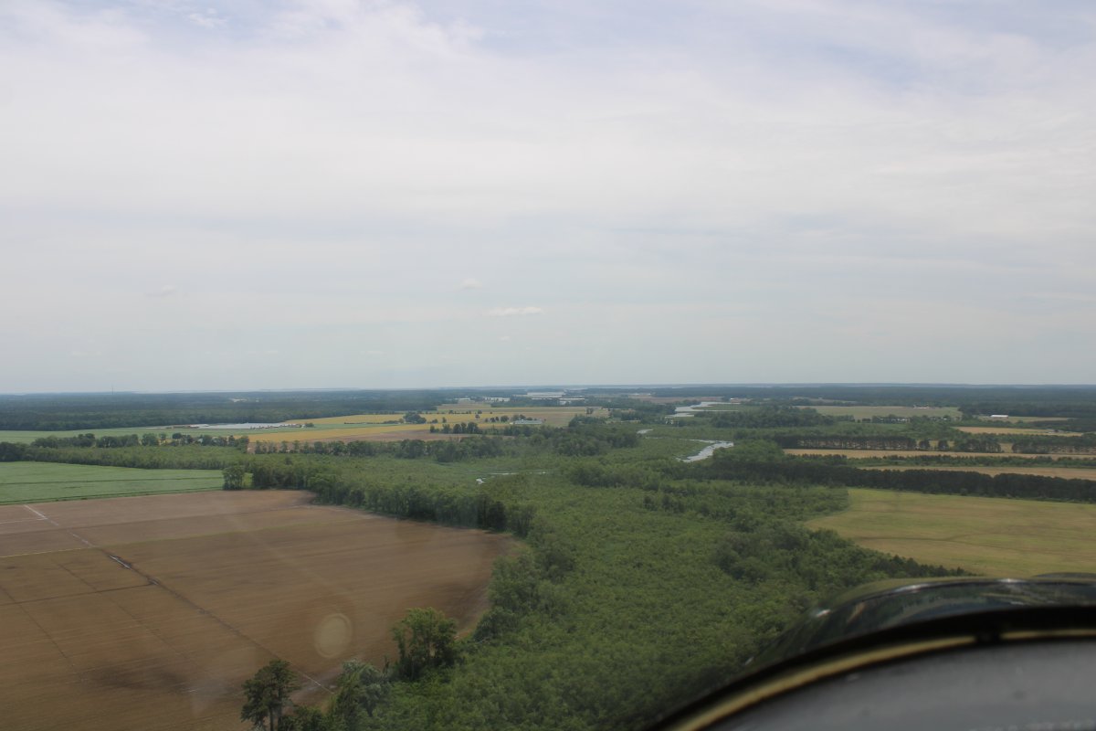
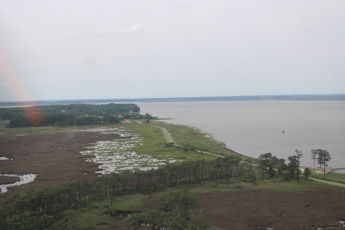
| Heading south, about to cross the Choptank River with the Highway 50 bridge at bottom left crossing into Cambridge. The Blackwater swamp is straight ahead in the distance. |
| |
 |
|
|
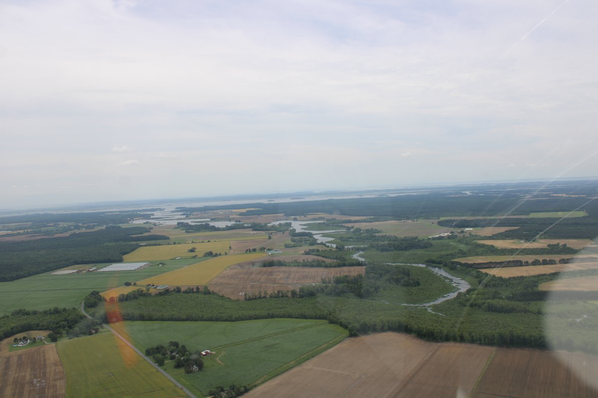
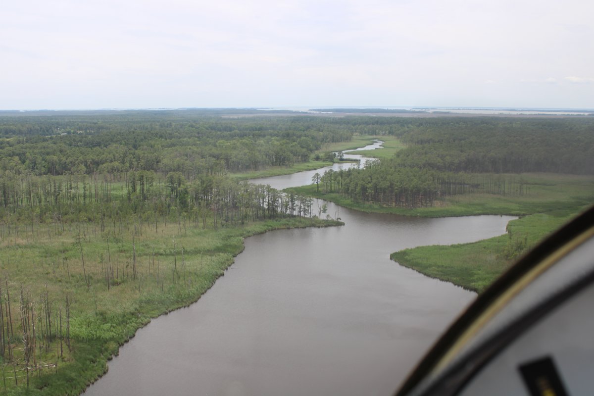
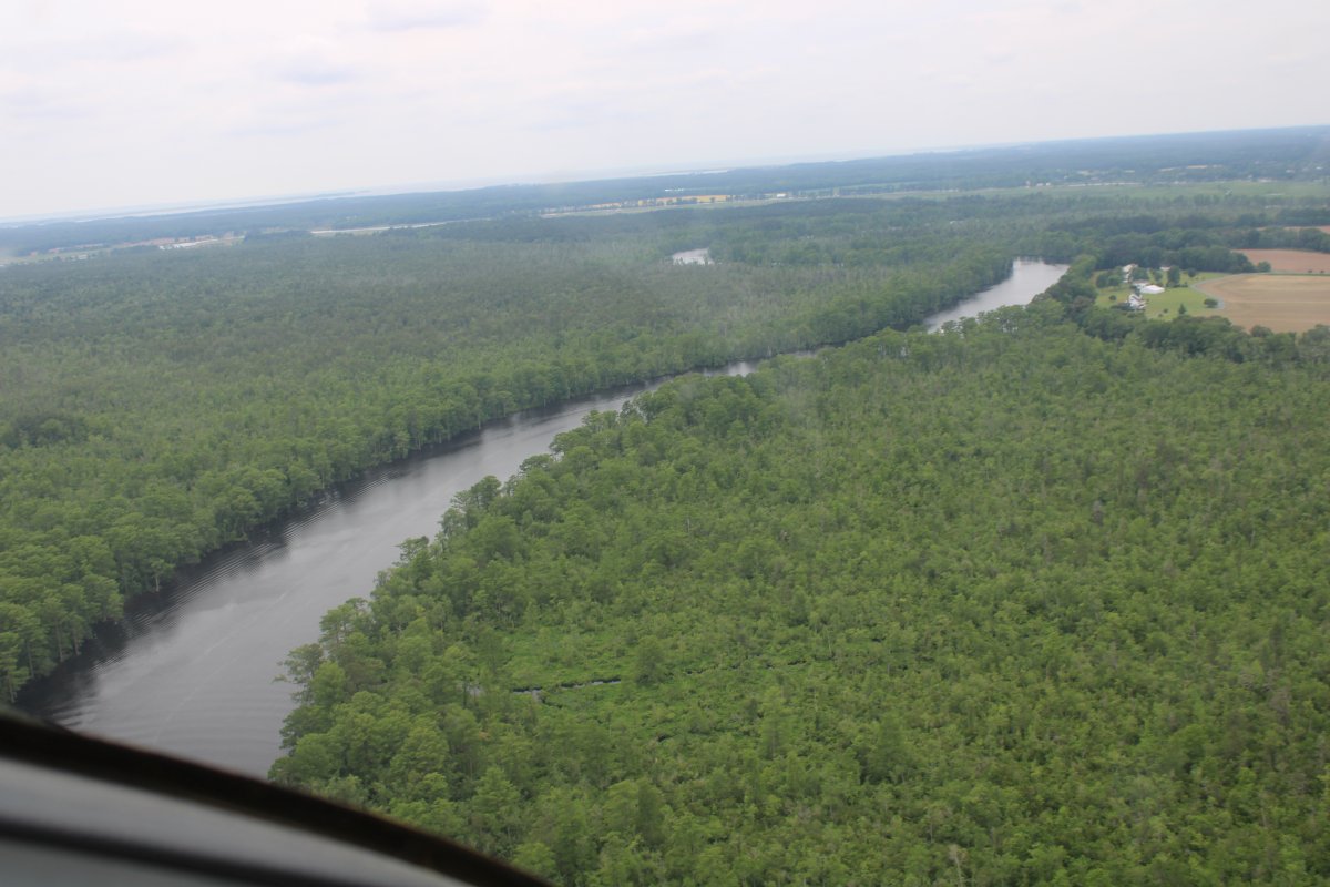
Approaching the Little Blackwater River. Amazingly, considering all the times I've flown around the Baclkwater marsh, I've never flown the Little Blackwater River before.
|
| |
 |
|
| Here we go. |
| |
 |
|
|
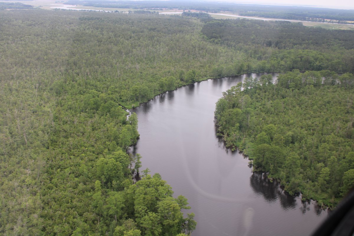
Yanking and banking over the Little Blackwater River.
|
| |
 |
|
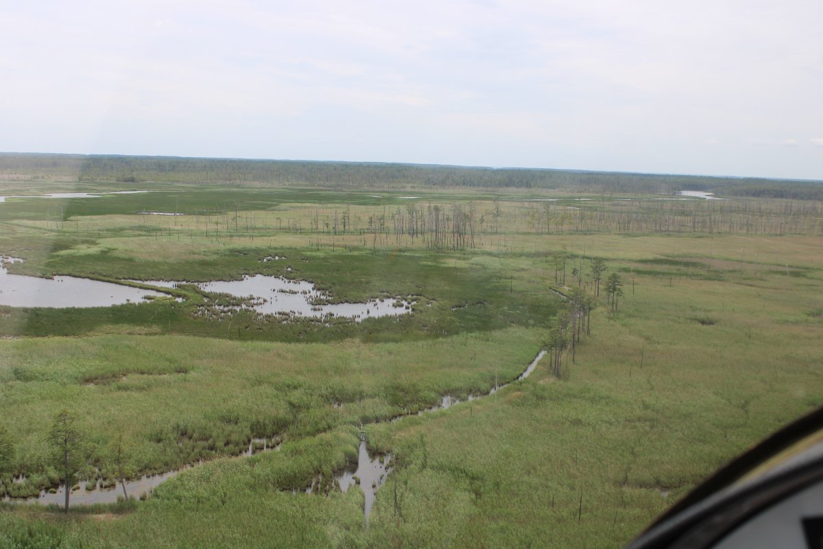
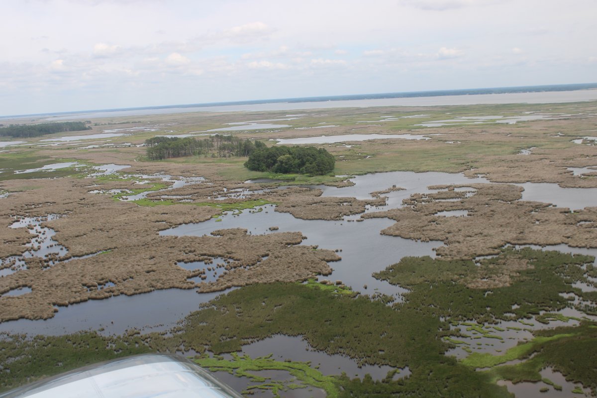
| Rounding the bend into the Blackwater Swamp. |
| |
 |
|
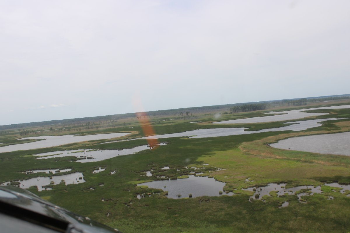
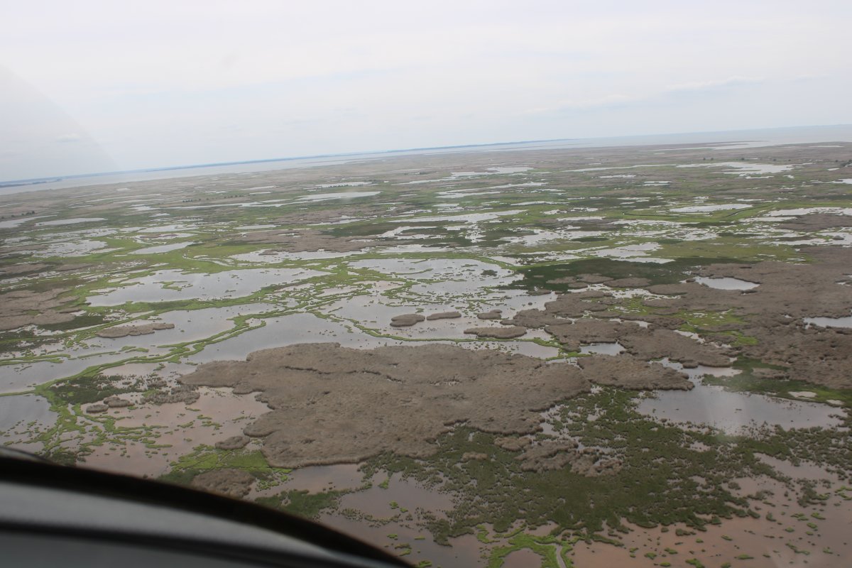
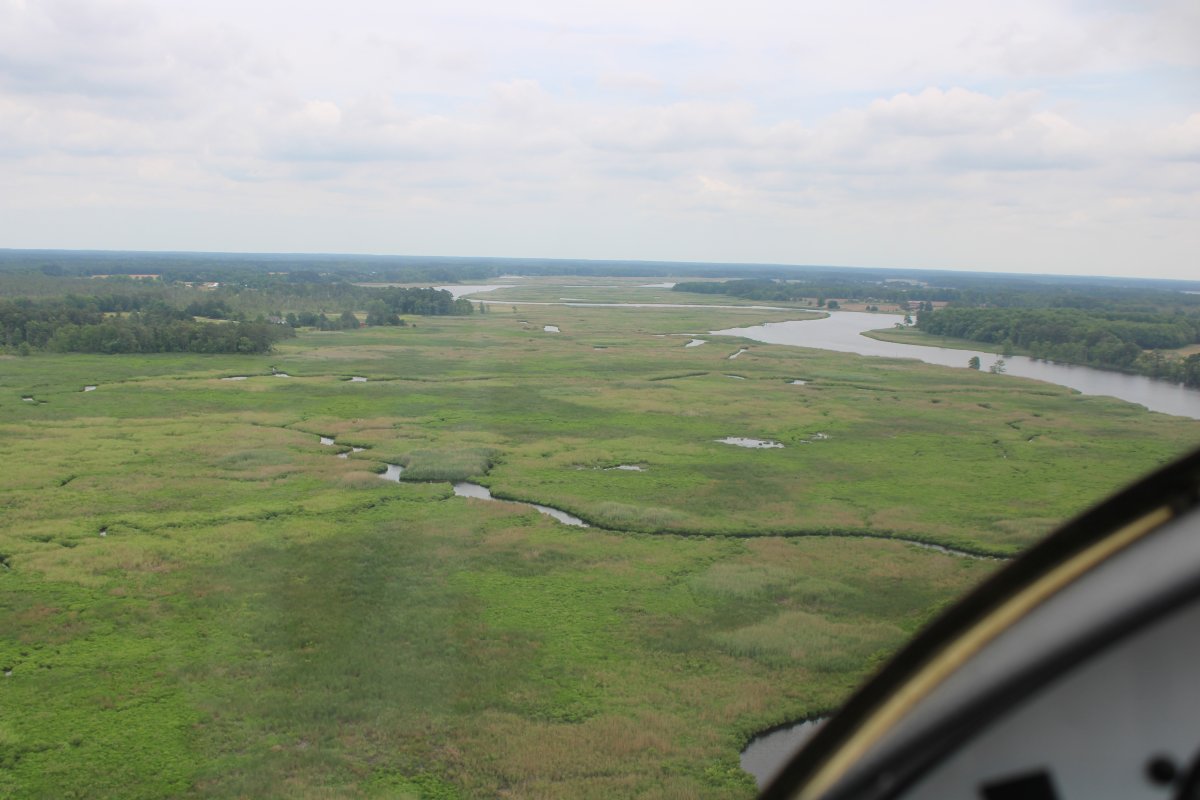
| The marsh is nice and green. |
| |
 |
|
| I flew it back in March and everything was brown, or dark brown; i.e., burnt. |
| |
 |
|
|
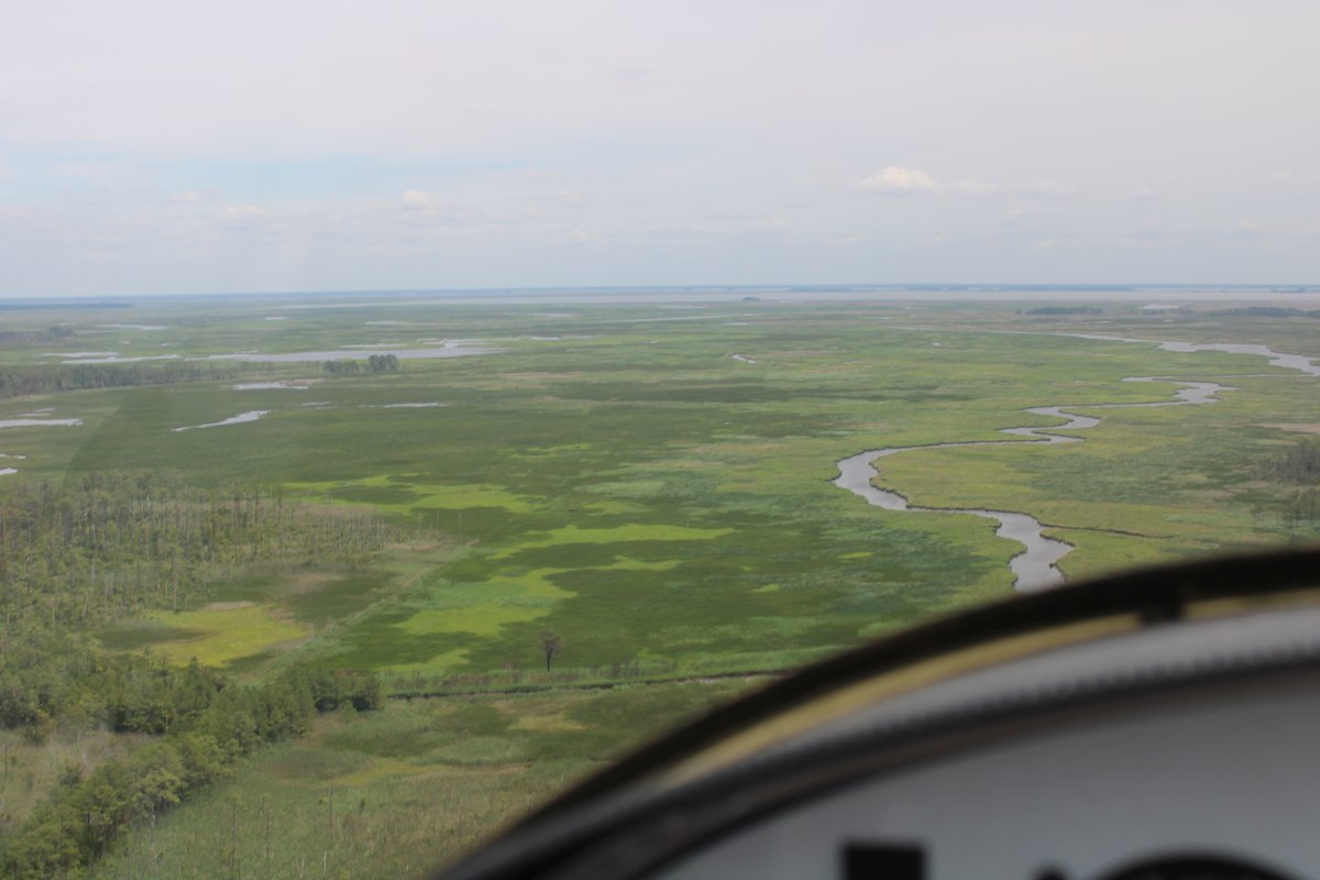
Following Meekins Creek to the southwest.
|
| |
 |
|
| Now heading east |
| |
 |
|
|
Pretty green, looks like velvet.
|
| |
 |
|
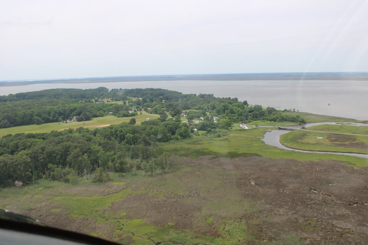
| I was surprised to see a road and a little community on this really remote area called Elliott Island. |
| |
 |
|
| The little community. |
| |
 |
|
| The tip of Elliot Island. |
| |
 |
|
|
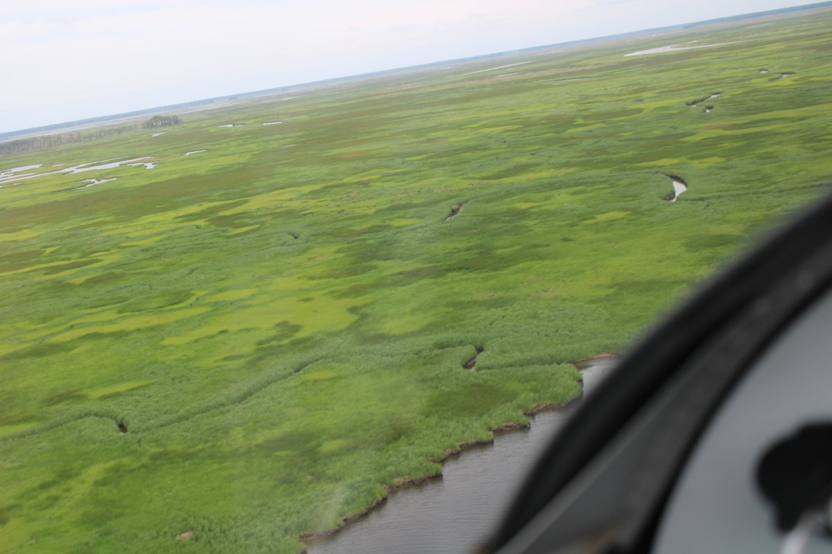
Heading east again over some really unusual marshland. It looks sort of like a fungus has taken over the green grass.
|
| |
 |
|
| |
| |
 |
|
|
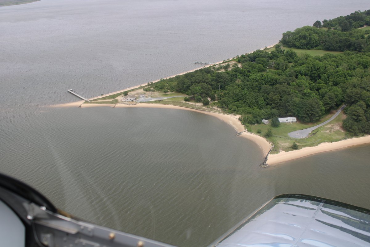
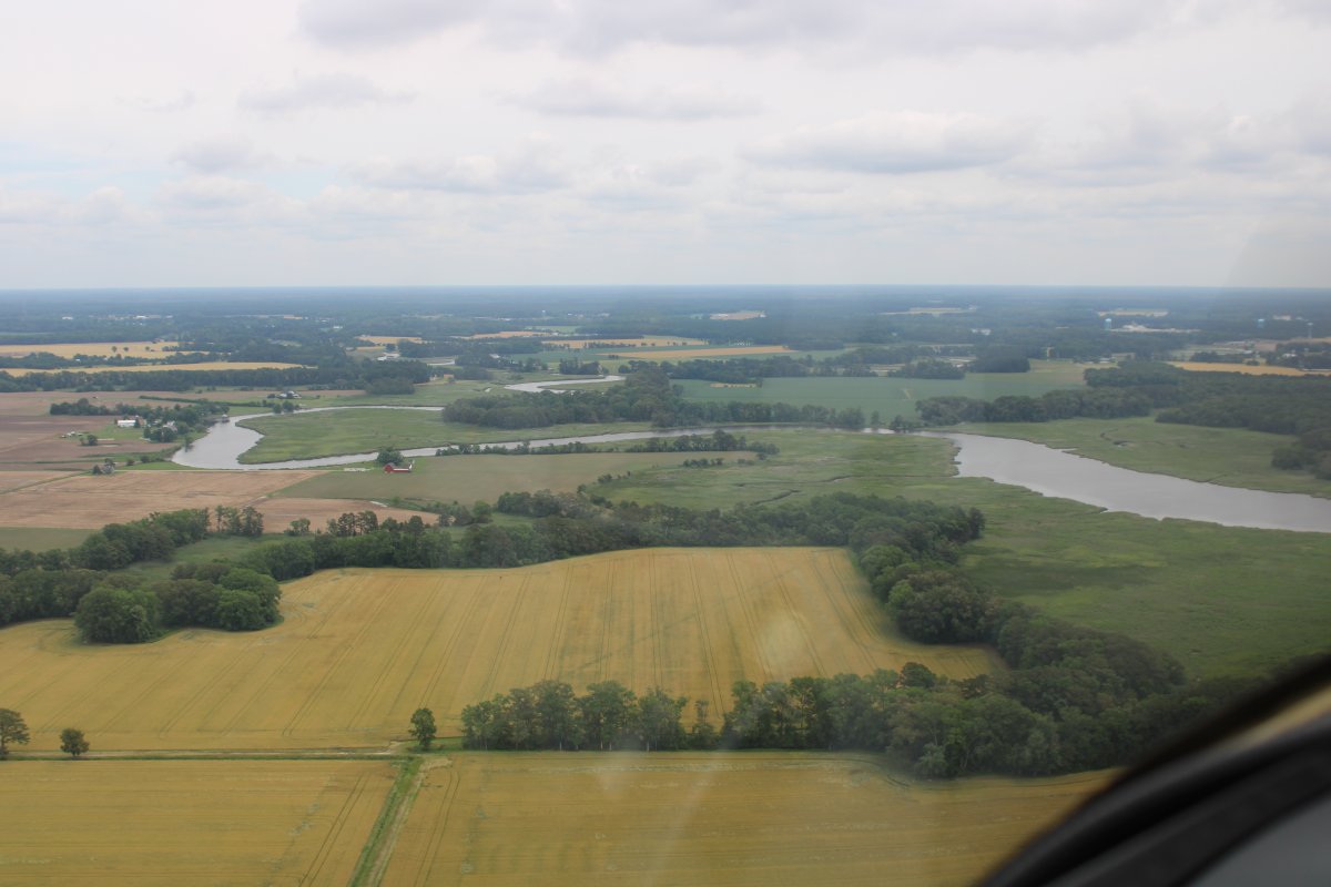
As I head southeast, I leave the marsh area and come to solid land. There are lots of little creeks like the one below that wind through the Eastern Shore.
|
| |
 |
|
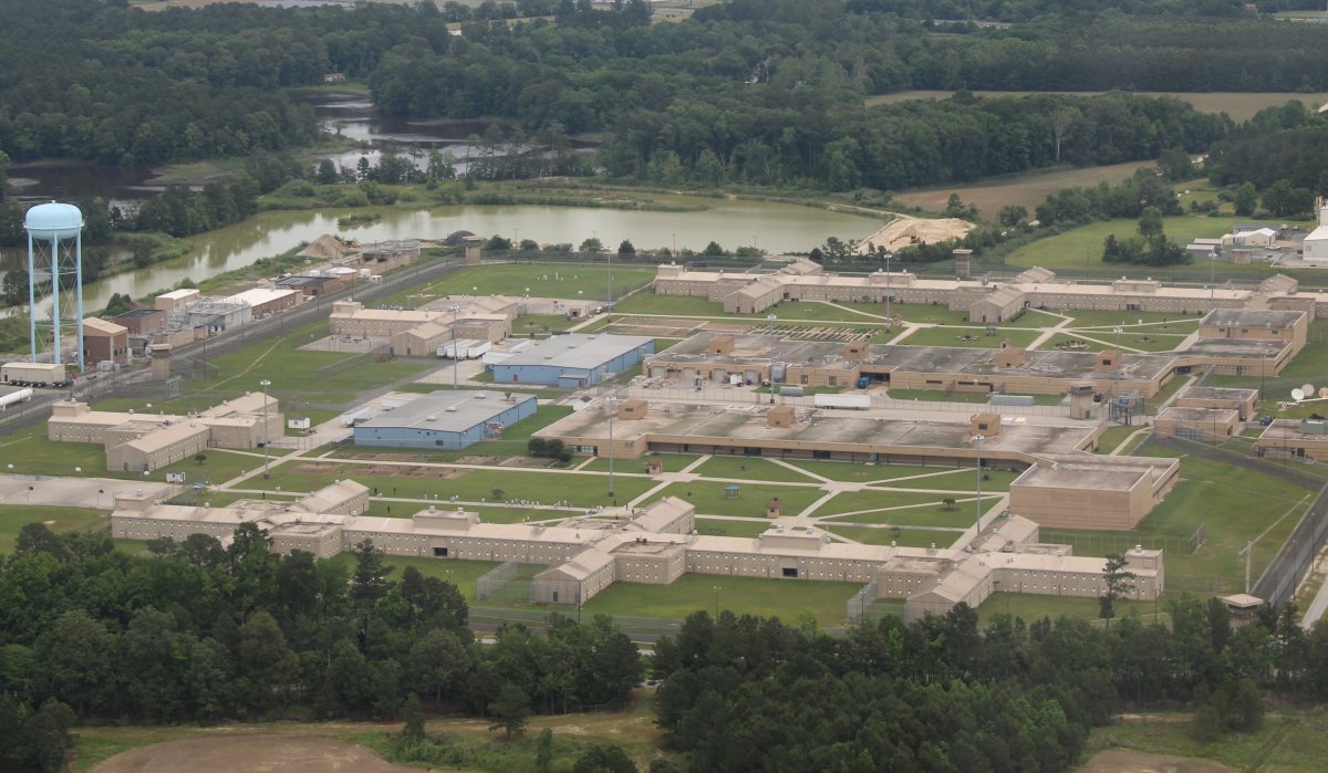
| I fly by this big prison. I can see inmates walking on one of the paths down below. I wonder if any of them look up at my plane; if so, what must they think? |
| |
 |
|
|
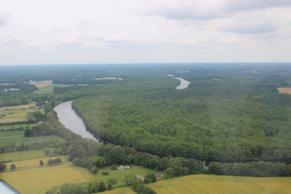
Then I approach the Pokomoke River. Here I'm looking northeast up the Pokomoke. It runs to -- you guessed it -- Pokomoke City.
|
| |
 |
|
| Now looking southwest down the Pokomote. I follow it. |
| |
 |
|
| A nice river to fly, with lots of bends, but no civilization. |
| |
 |
|
|
Still following the Pokomoke. It has large marsh areas alongside at this point.
The Pokomoke is a long river that I've never really paid attention to before. It runs from Chesapeake Bay northeast pointing to Ocean City, Maryland. I'm going to have to fly it next time I'm down this way.
|
| |
 |
|
|
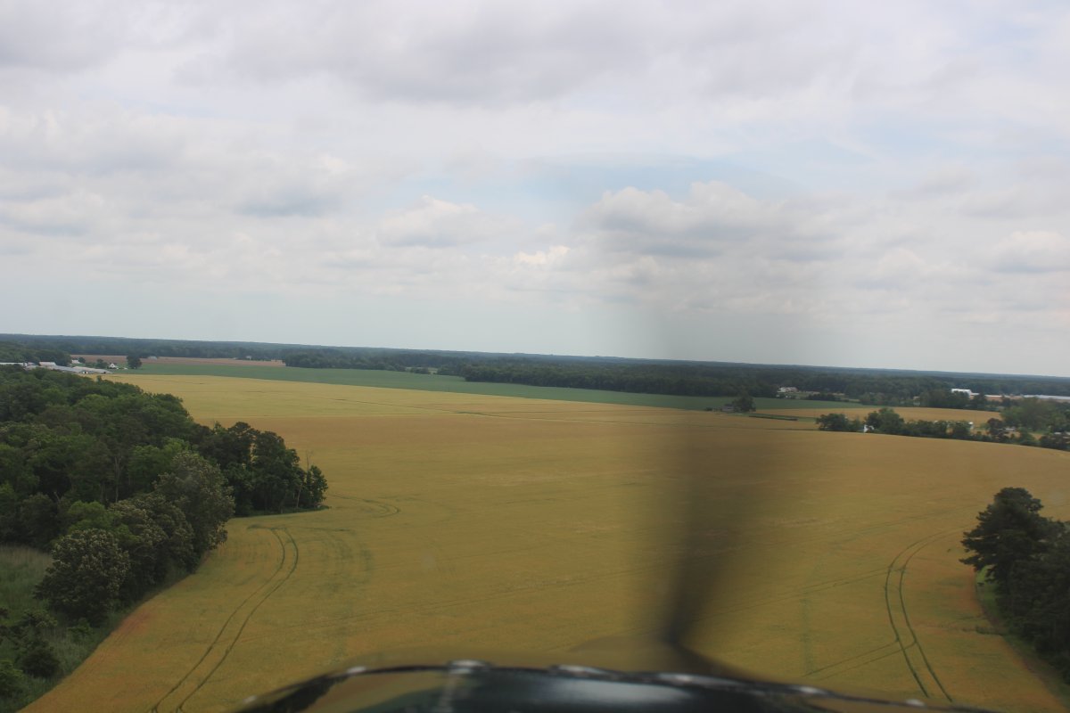
I turn southeast again and fly over some amber waves of grain.
|
| |
 |
|
| I pass a nice little private grass strip. There are lots of them down here in the Delmarva peninsula. |
| |
 |
|
|
I'm angling just to the southwest of Wallops Island and its military towered airport. They launch rockets at Wallops Island. Some of the rocket facilities become visible in this picture. As well as the Atlantic Ocean beyond.
|
| |
 |
|
| Approaching the Ocean beach from an angle. I have to stay out of Wallops Island Class D. There is restricted airspace to the south of Wallops Island -- R-6604E -- but it begins at 700 feet above ground leve -- I'll be below that. It also is rarely activated and when it is, they have to put out a Notice to Airmen (NOTAM) 12 hours in advance. I checked and there was no Notam for today. |
| |
 |
|
| Getting closer. This is the first time I've flown under R-6604E. |
| |
 |
|
|
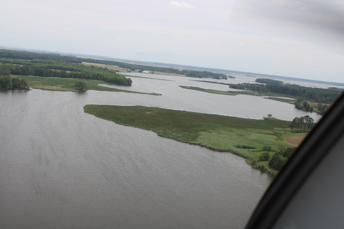
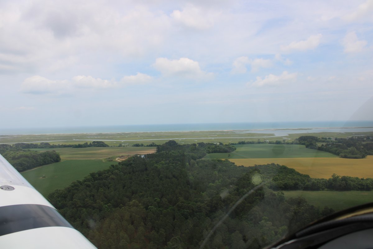
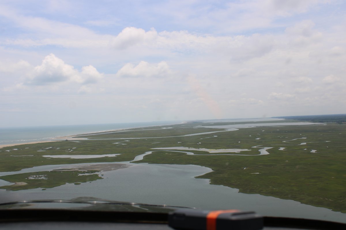
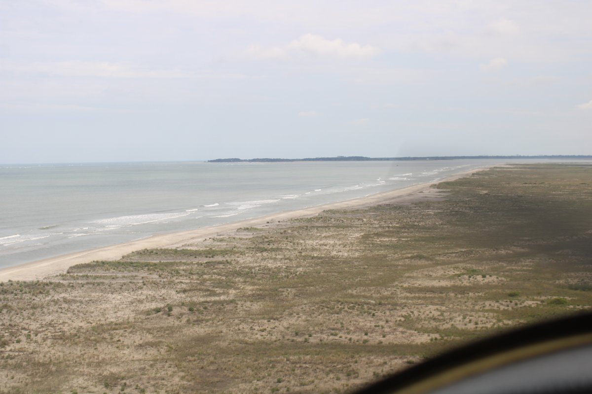
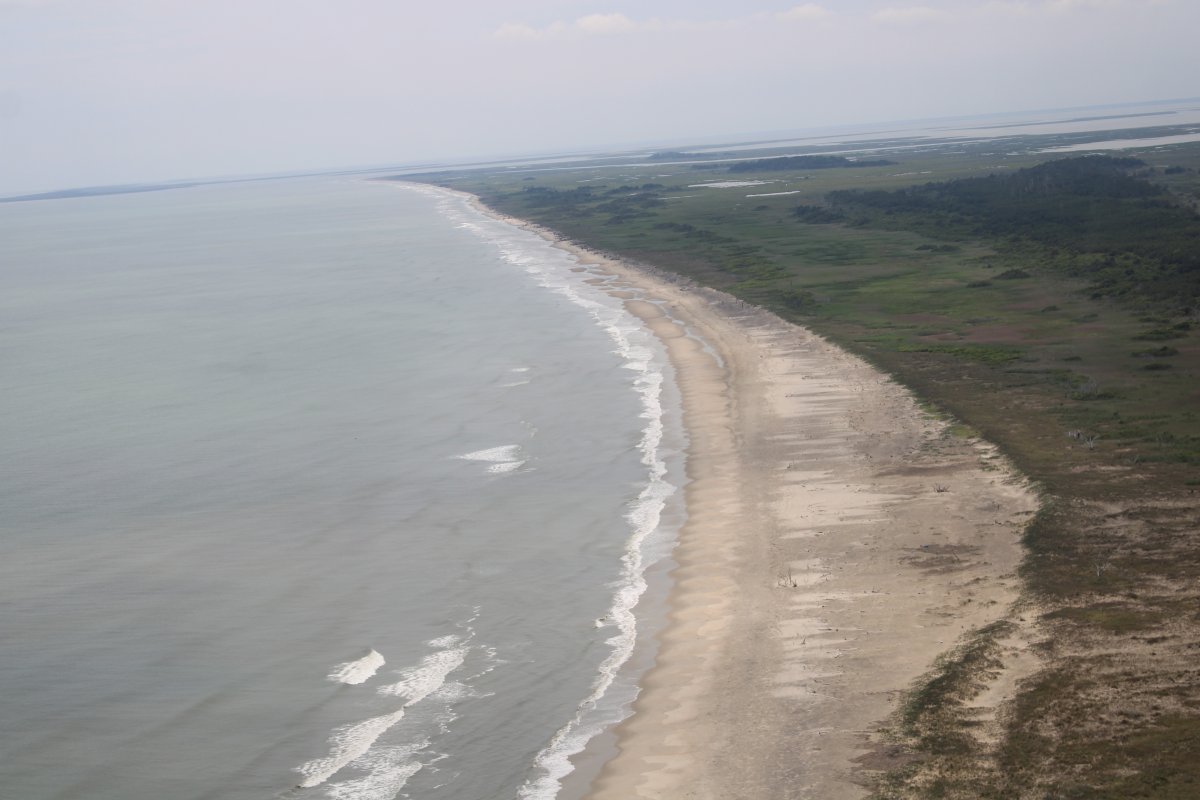
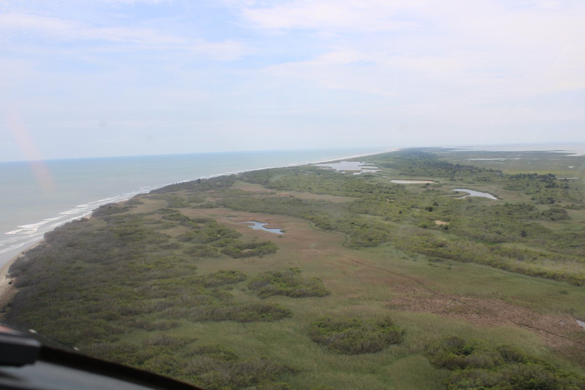
Looking south at one of my favorite areas to fly: the Virginia Barrier Islands.
|
| |
 |
|
|
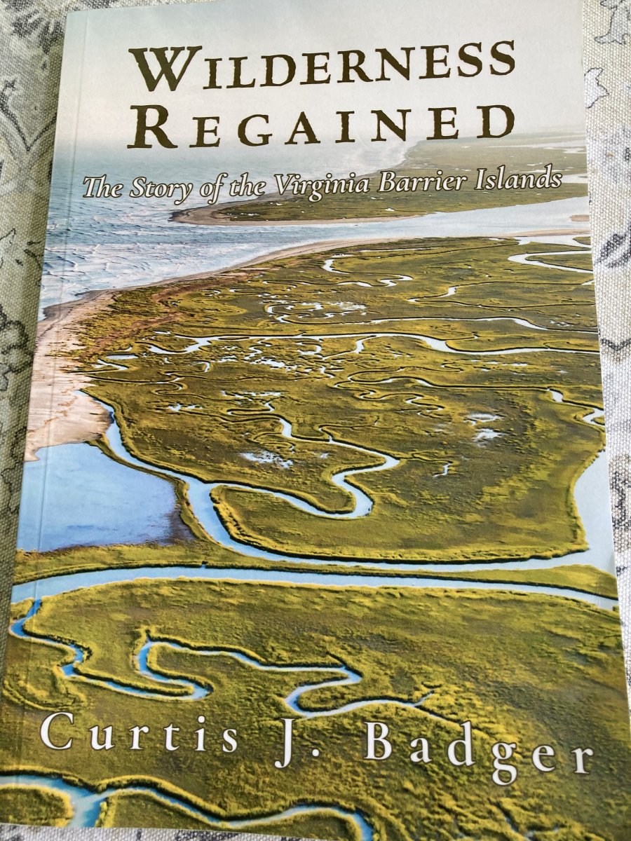
The last time I was in Onancock, at the "At Altitude Gallery", I bought a book by local author Curtis J. Badger on the barrier islands. All quotes below are from this interesting book.
Although these days the barrier islands are natural with no civilization, it wasn't always that way. A little over 100 years ago, the barriers islands were surprisingly populated with gun and fish clubs, life-saving and coast guard stations, hotels and gauno factories.
|
| |
 |
|
|
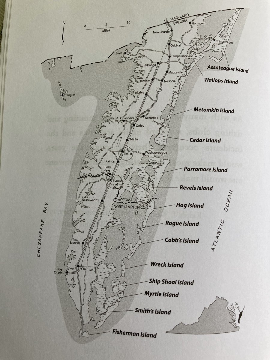
The book had the below excellent map of the islands. It turns out each one of the Barrier Islands has a name.
An organization named The Nature Conservatory now owns many of the barrier islands, ensuring they will never be developed again.
|
| |
 |
|
|
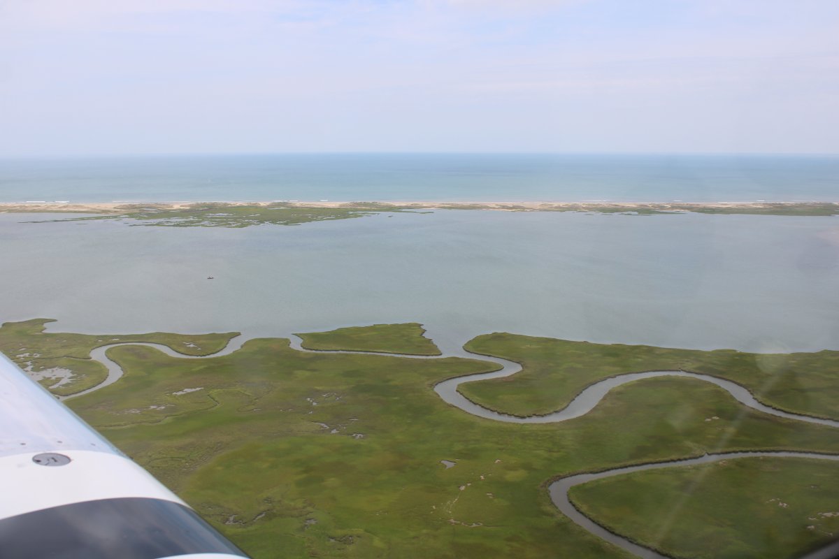
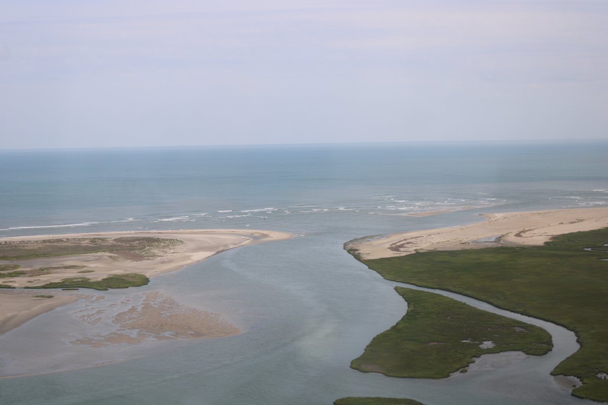
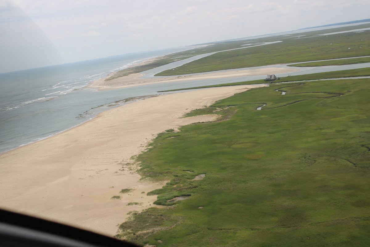
The inlet to Kegotank Bay.
|
| |
 |
|
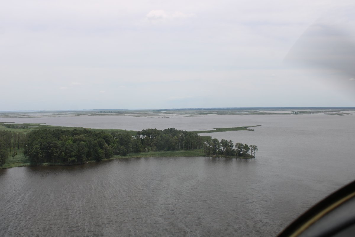
Leaving Assawoman Island and approaching Metompkin Island. |
| |
 |
|
|
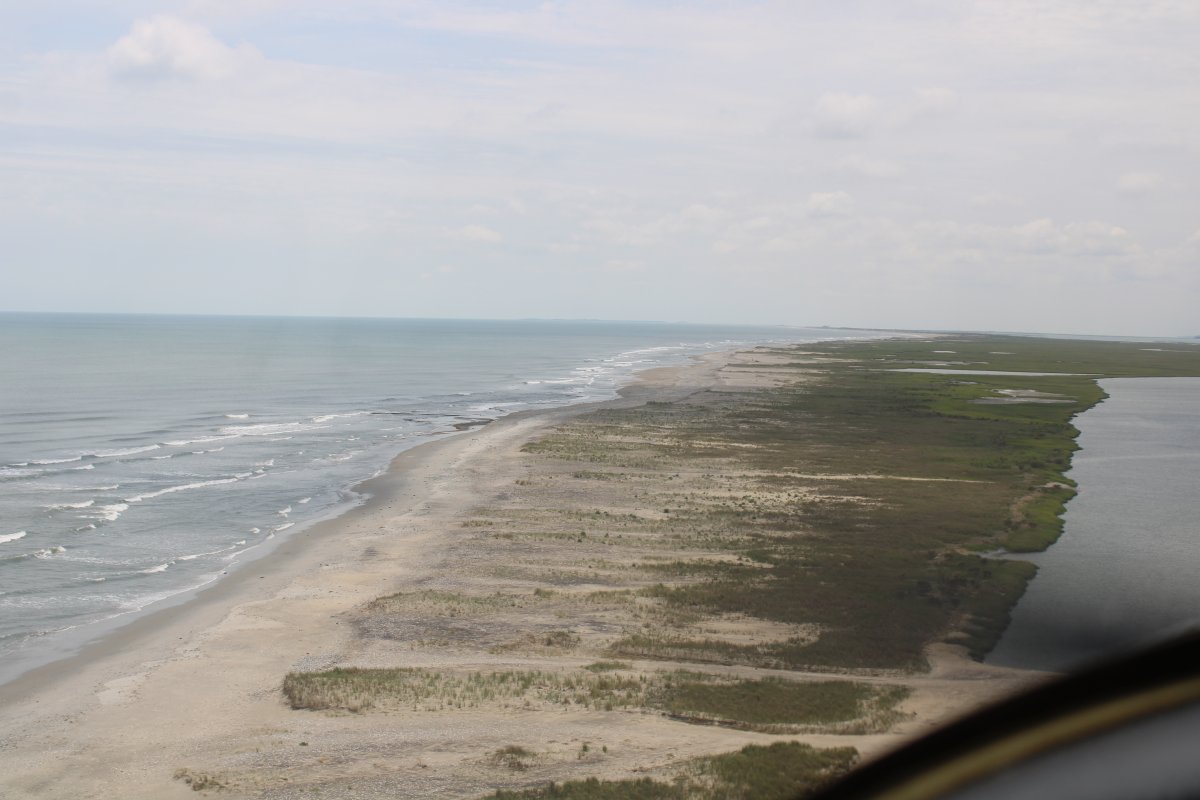
Metompkin is a long island.
|
| |
 |
|
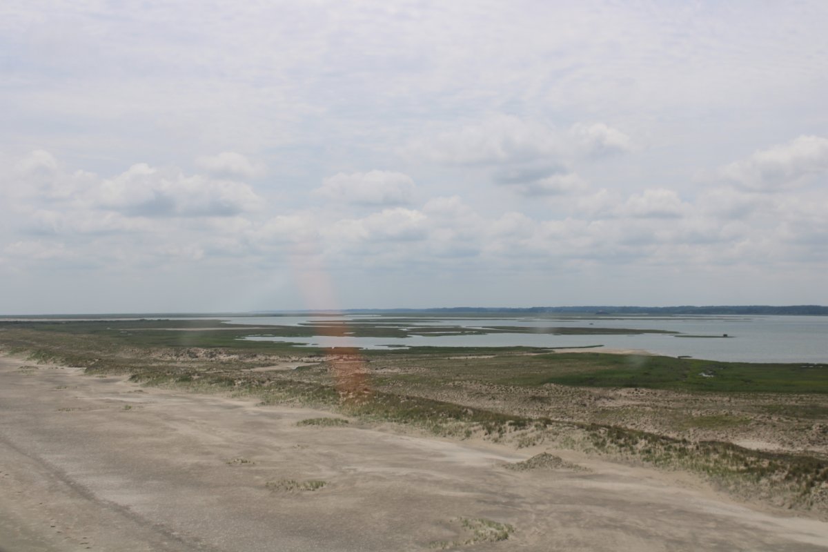
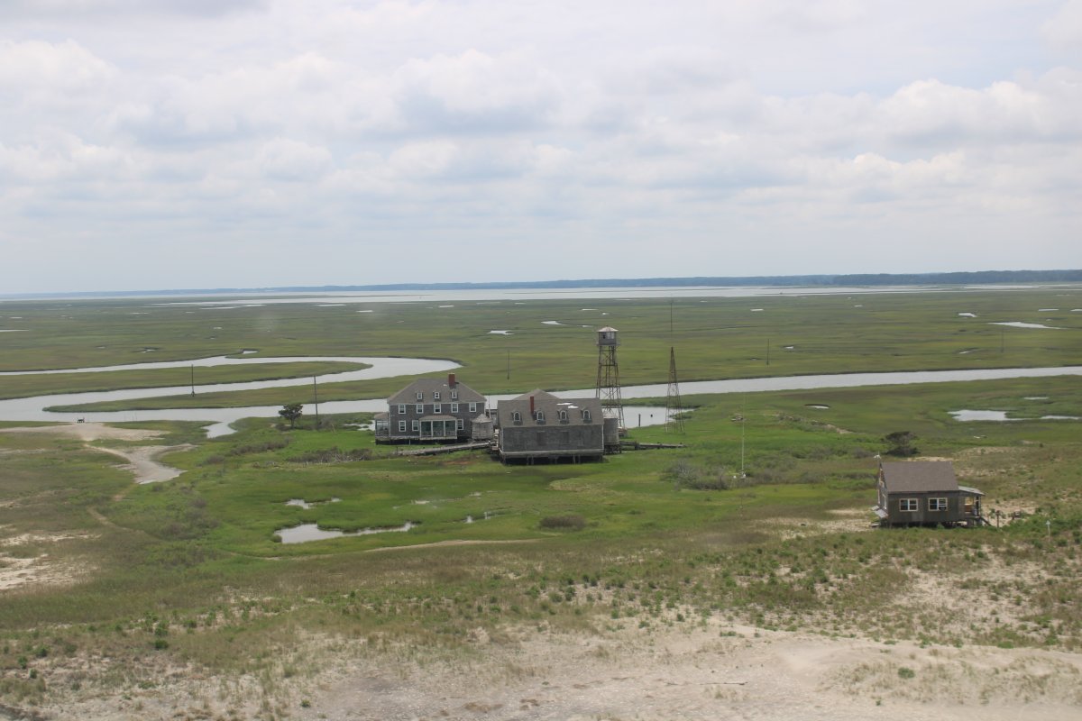
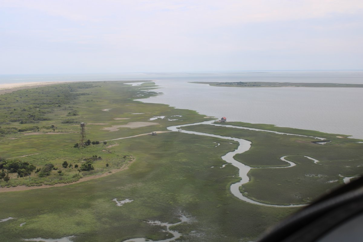
| Looking southwest at the inland bay. In addition to a life-saving station and coast guard station, Metompkin Island once had a hotel. "The Metompkin Hotel opened in 1894 and lasted for a few years, operated by several different people. ... A hurricane in October 1897 destroyed the building and in the words of a local newspaperman, 'leveled (the island) to a mere flat breath of sand.'" |
| |
 |
|
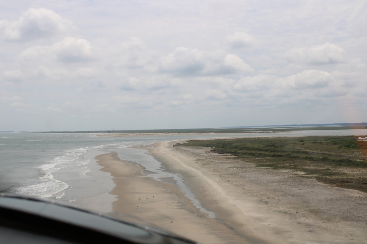
| Approaching Metomakin Inlet and Cedar Island. |
| |
 |
|
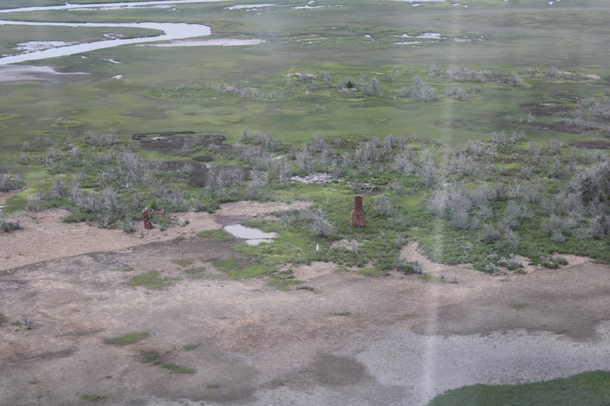
| I believe these buildings were a Coast Guard station built around 1933. It was deactivated in the 1950s, and is owned by a group of families who use it as a vacation lodge. |
| |
 |
|
|
Cruising down Cedar Island.
In addition to a life-saving station and coast guard station, Cedar Island had a popular clubhouse in the late 1800s. "It later had a hotel called the Island House that operated as a satellite of the famous Hotel Wachapreague. ... Cedar Island had guano factories that supplied ferilizer made from oily menhaden fish to local farmers. Lots were sold on Cedar in the early 1950s and 1980s. Many of them are under water today." "In the 18th century, Cedar Island was noted for large stands of red cedars. ... By the mid-20th century the large trees were gone, replaced by thickets of small cedars, wax myrtle, and salter water bush."
|
| |
 |
|
|
Crossing the Watchapreague Inlet to Parramore Island.
"The most lavish island getaway was the Accomac Club, built on a high marsh on the north end of Parramore Island. The club was chartered in 1887 and was originally limited to 35 members."
"Most of the gunning clubs employed local people as guides, cooks, and caretakers..."
"The end of the Accomack Club, like many of the old clubs and hotels on the barrier islands, came with the August 1933 hurricane, which did major damage. But in reality, the club was treading water long before the 1933 storm. While other clubs were done in by an eroding landscape, the Accomac Club was done in by the eroding fortune of its members. ... Membership was down to six or seven men by the time the storm struck." The Accomack Club had a run of 43 years.
|
| |
 |
|
|
I'm guessing the Accomack Club might have been in this area at the north end of Parramore Island.
|
| |
 |
|
|
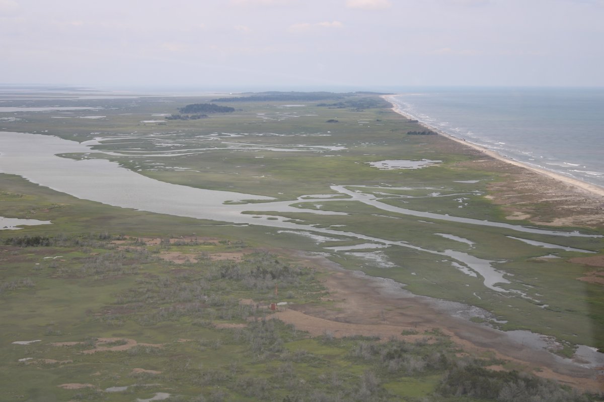
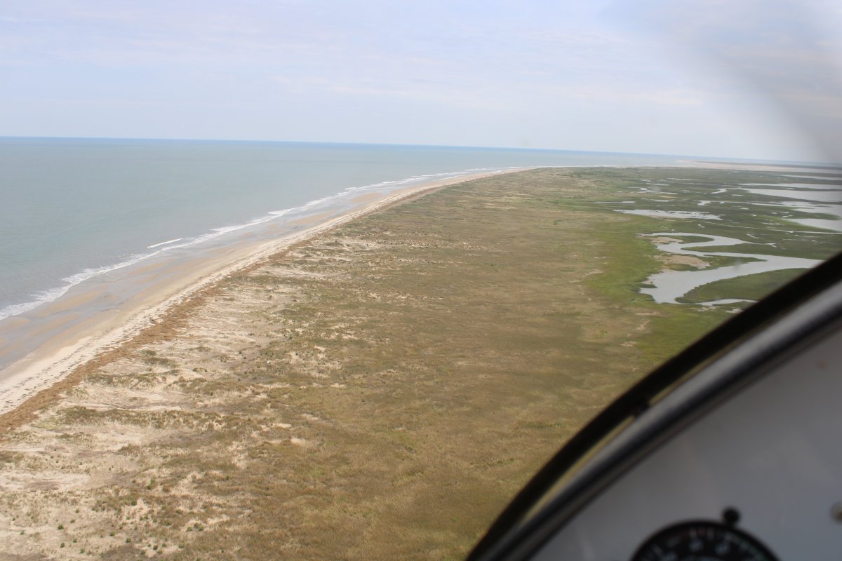
Cruising down Parramore Island.
"Other than Assateague, Parramore is the only barrier island with a significant stand of old-growth forest."
In 1955, the U.S. Navy wanted to use Parramore Island for aerial bombing practice. The infant Nature Conservatory got involved and "the Navy's interest eventually cooled, the project dropped."
|
| |
 |
|
| Remnants of an old Club building at the south end of Parramore Island? |
| |
 |
|
| Looking back at Parramore Island. |
| |
 |
|
|
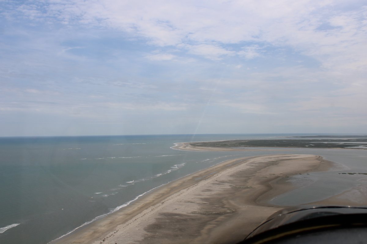
Flying over Quimby Inlet with Hog Island on the other side.
|
| |
 |
|
| Hog Island stretches ahead. |
| |
 |
|
|
At one time, 100 people lived on Hog Island which had fertile soil "making it possible to sustain a much larger community. The sea provided a bounty nearly year around. Migrating shorebirds were killed in the spring, waterfowl in winter. The eggs of gulls, rails, and other birds were a special treat during spring nesting season. This natural larder supplemented the vegetables people harvested from their gardens, as well as hogs, chickens, and other animals."
In November 1892, President Grover Cleveland spent two weeks on Hog Island "relaxing and duck hunting at the Broadwater Club."
Other than the tower and shacks shown below, Hog Island has returned to life before man.
|
| |
 |
|
|
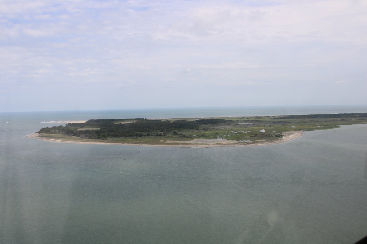
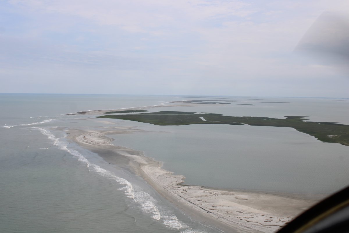
Crossing the Great Machipongo Inlet. Heading to Cobb Island. There isn't much left of Cobb Island.
In 1839, Nathan F. Cobb paid $150 for the 86 acres of what became known as Cobb Island. He built a building which eventually became a seaside resort and got a license to "serve food and spirits, and he reasoned that the broad sandy beach and the ready abundance of fish and game would entice visitors. Nathan Cobb, who at the time was simply trying to supprt his family, was unknowingly ushering in what would become the golden age of gunning clubs in coastal Virginia, an era that would reach its summit in the decades following the Civil War, and then slowly face in the early 20th century because of a rising sea level and the eroding of personal wealth following the Great Depression [and the Income Tax]."
"The real spark that ignited the boom in gunning clubs was the opening of the railroad on the Eastern Shore in 1884."
At its peak, "the Cobb's Island Hotel was the most famous resort in America for hunting and fishing." But, "of all the hunting clubs on the seaside of the Eastern Shore, the Cobb resort was the first to go, just as it had become the first to arrive." By 1897 it was gone, wiped out by storms. "The old gunning clubs are gone, and in many cases the land where they once stood is underwater." "The site where the resort once stood is well out to sea."
"The Cobbs saved lives and salvaged ships from the time they moved to the island in 1839 until the U.S. Life-Saving Service opened a station on the island in 1876."
What's left of the island today is owned by The Nature Conservancy.
|
| |
 |
|
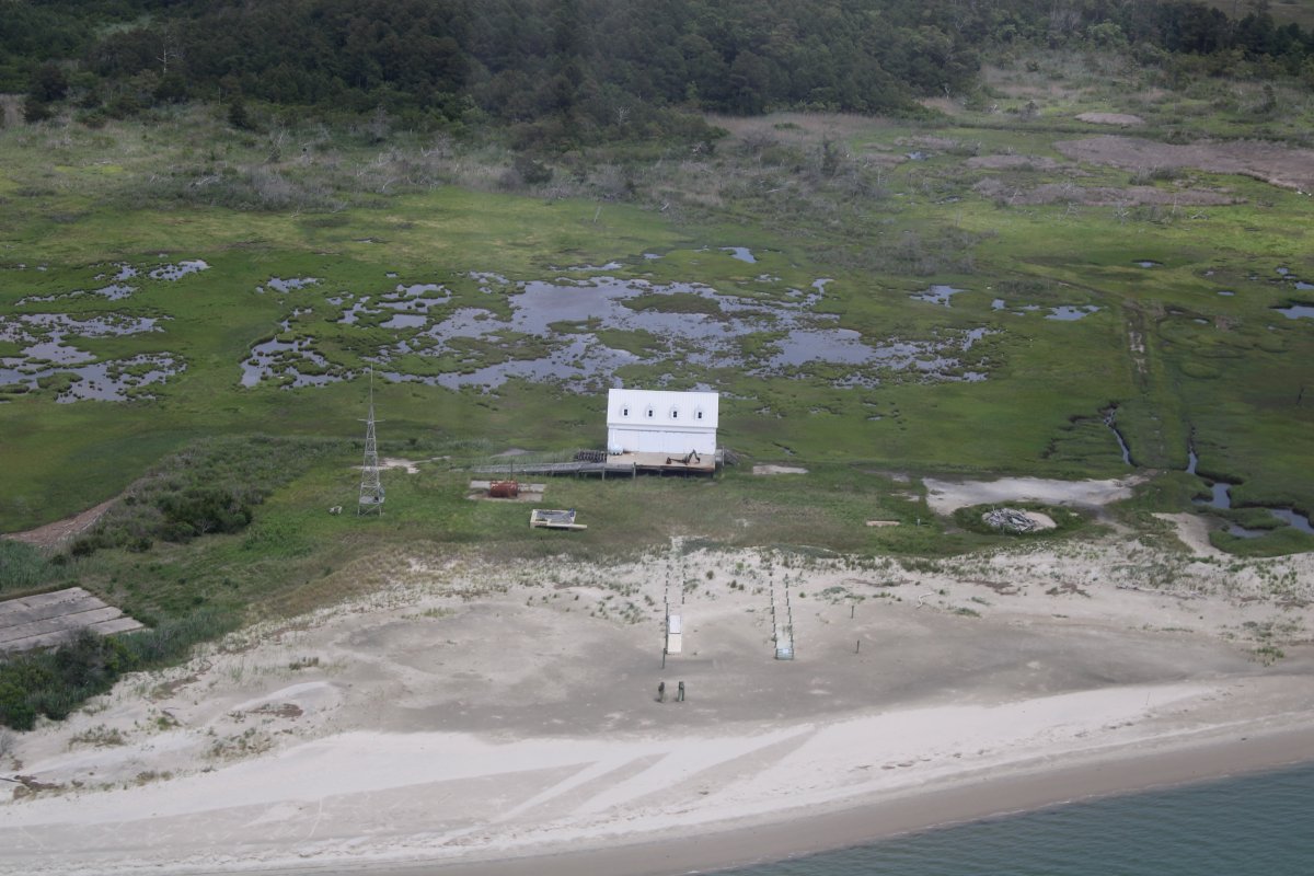
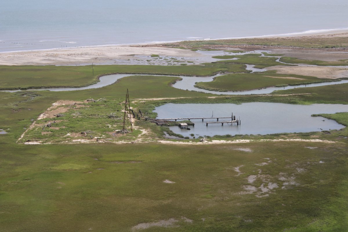
| An abandoned port facility at the southern end of Cobb Island. |
| |
 |
|
| The only other sign of civilization. |
| |
 |
|
|
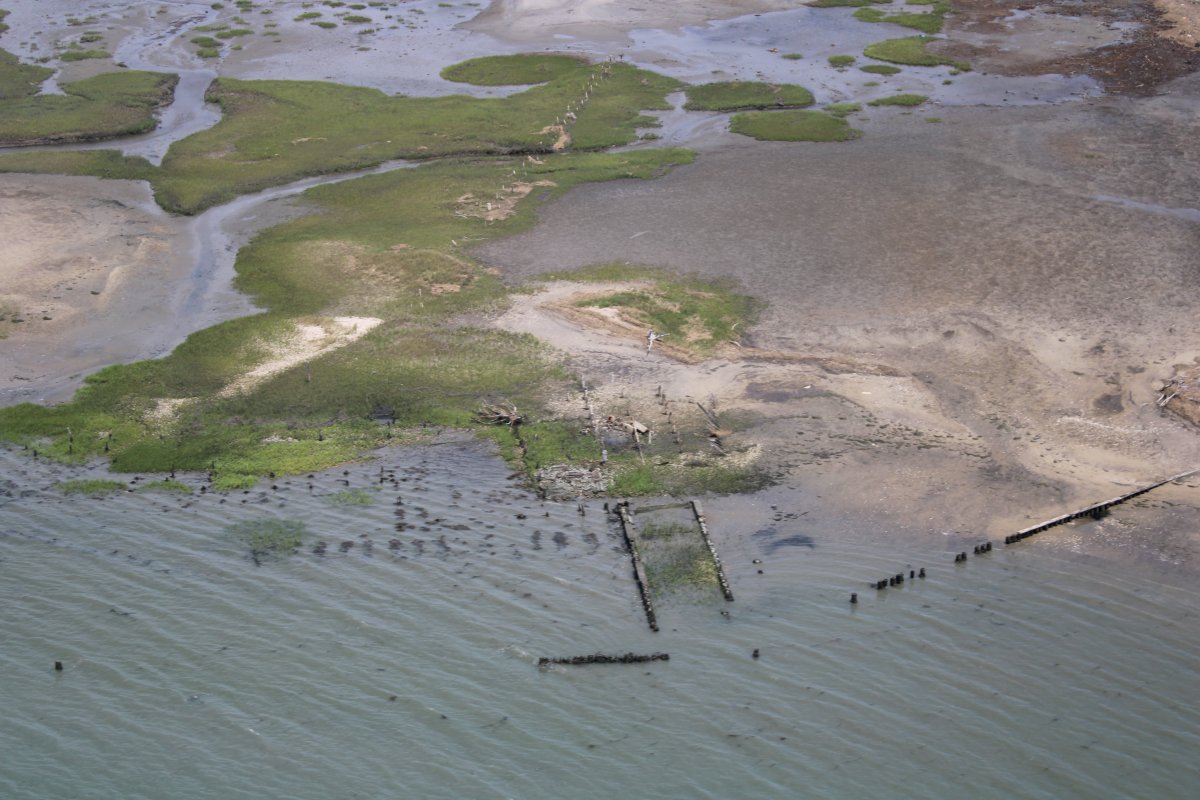
Cruising down Wreck Island.
The book didn't have any information on Wreck Island.
|
| |
 |
|
|
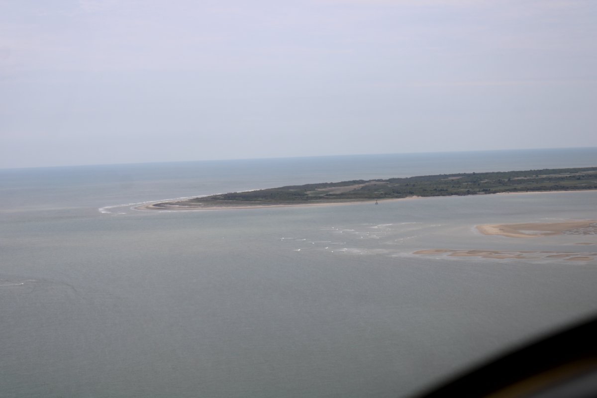
Approaching Ship Shoal Island which was created in 1857 when a storm cut a new inlet through Smith's Island. Myrtle Island -- which I do not have a picture of -- was created the same way in 1851 being split off Smith Island by a storm.
|
| |
 |
|
|
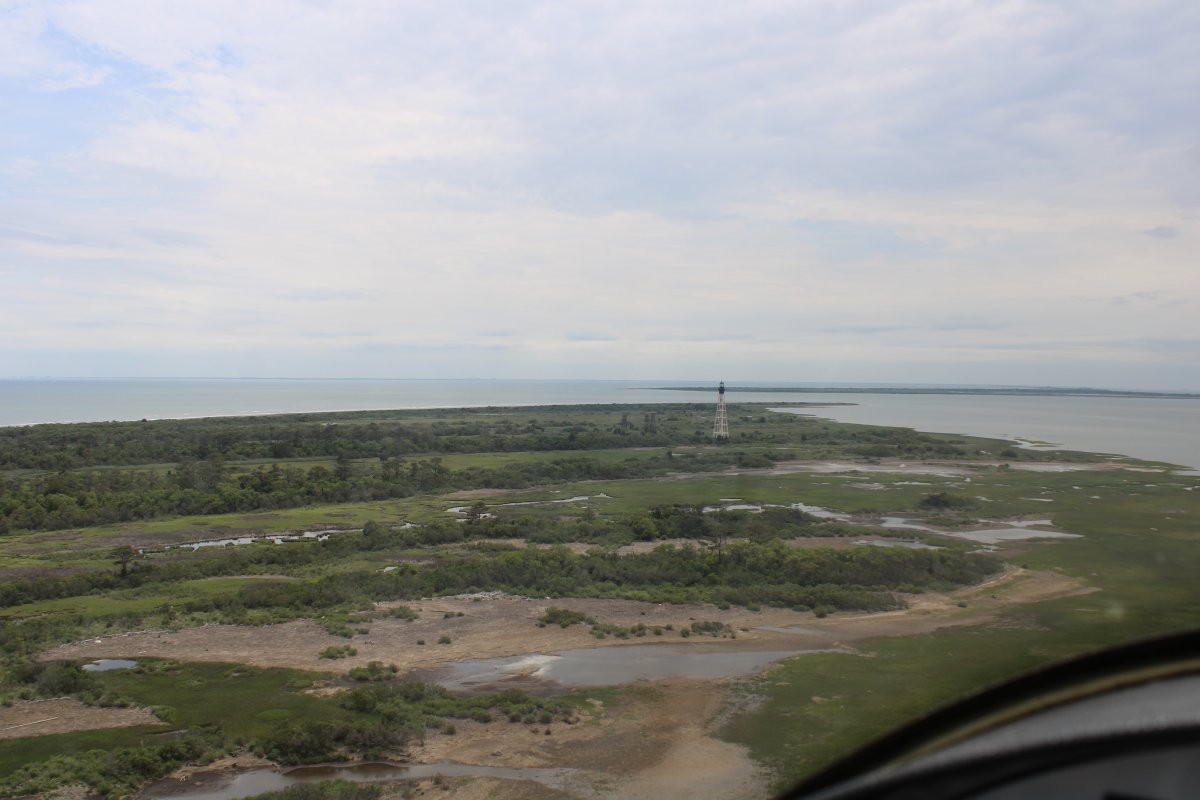
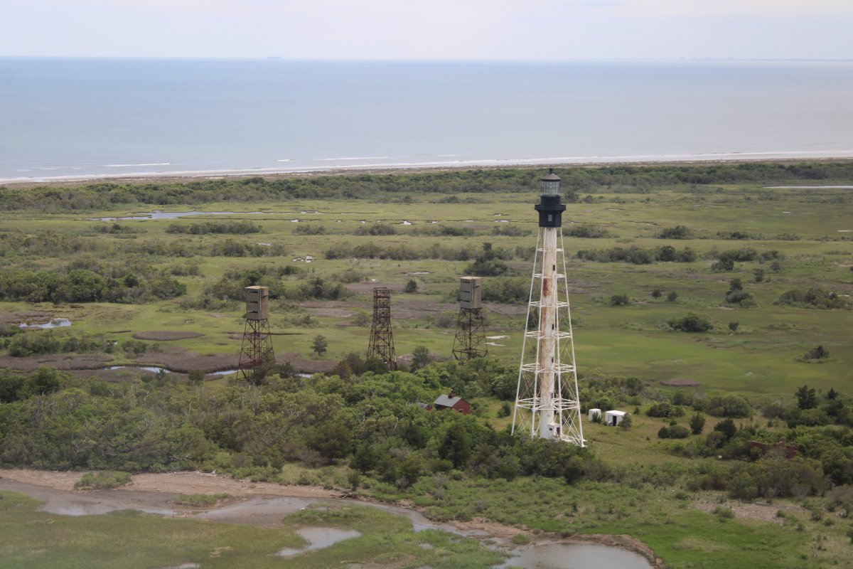
Over Smith Island which has the Cape Charles lighthouse.
Smith Island was named after the famous John Smith of Jamestown fame. It was named in 1608, on Smith's exploration of the Chesapeake Bay trip, only a year after the Jamestown colony was established in 1607. Colonists from Jamestown came to Smith Island to make salt, and catch fish.
"During the first decade of the Jamestown settlement, Smith's Island, the surrounding waters, and adjacent mainland on the Eastern Shore became vital to the survival of the colony. Great numbers of fish and shellfish were taken to feed the people.
The Custis family and Lee family heirs -- which included George Washington's wife Martha and Robert E. Lee's wife Mary Anne Randolph Custis -- "owned Smith Island for more than two centuries, and for much of that time used the island as pasturage, raising sheep and cattle."
"Smith's Island was sold in 1911 to Samuel O. Campbell, a wealthy New York stockbroker who built a lavish 32-room hunting lodge. ... Campbell reportedly lost his fortune, and the islands, in the stock market crash of 1929. The island was eventually sold at auction and purchased by Richard F. Hall with a winning bid of $40,500. Eventually The Nature Conservatory bought Smith, Myrtle, and Ship Shoal Islands for $1,250,000.
|
| |
 |
|
| Zooming in on the lighthouse as well as three World War II fire control towers for Battery Winslow on Cape Charles with its 16-inch guns. The first lighthouse was erected in 1826. This steel lighthouse is the third generation light. |
| |
 |
|
| |
| |
|
|
|
|
|
|